

The trail starts from Prevala, the place that divides the town and Sirinicka, and the mid area in Kosovo. Prevala is at an altitude of 1.527 meters, the local asphalt road from Shtrpce to Prizren passes through here and along this saddle crossing there are quite a few private holiday homes and parking places. The trail starts to follow a southeast direction. Uphill from passing the canyon of the River Bukoravachka we have Mala Planina and the entrance to the valley of the highest springs of the River Bistrica. The path continues on the northwestern slope of Konjuska peak. From this place through rocky terrain, the trail continues uphill along the ridge of Shar Mountain where the green pass is located. From here you can climb the Crn Vrv peak by moving westward.
Panoramas and landscapes:
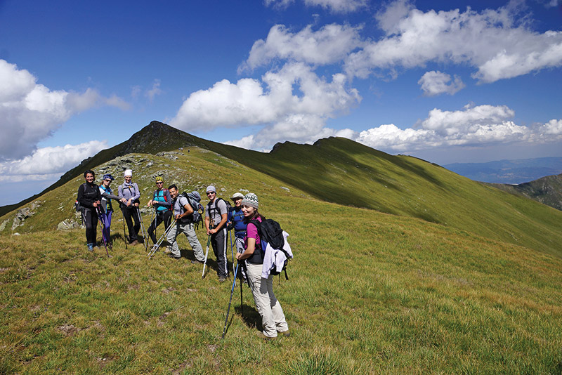
• Looking south from the top, a wonderful view to the highest peaks of Shar and the valley of River Pena opens up, west you can see the city of Prizren and the mid area and to the north you can see the stoniest part of the ridge of Shar Mountain, Causica or Losata Strana with Bistrica peak visible, too.
Biodiversity pinpoints:

The area around this trail is similar to that along the trail BHA K1 in terms of biodiversity. It is specific that large complexes of Macedonian (Molika) pine forest, well known on Pelister, are distributed on the slopes towards Brezovica and Prevalec.
Accommodation and food:
• Hotel “Sharri” – Prevala. Access to starting and ending points:
• Highway Pristina – Shterpce, 62 km.
• Local road Shterpce – Prevala, 14 km.


